Bridgend County Borough Council has refuted claims that an agreed 60-space car park will not be provided at Brynteg School as part of the development of an adjacent multi-agency social services hub.
Constructing an all-new 60-space car park was never proposed or part of the planning application for the hub. Instead, existing space is being reconfigured at the school to provide the 60 spaces – 47 for staff, and 13 for sixth form pupils.
The council’s own planning department has confirmed that the scheme is compliant, and is not in breach of conditions imposed by the Development Control committee. The new hub will have its own separate parking area, and the reconfigured approach will create 13 additional parking spaces within the main school site.
Councillor Stuart Baldwin, Cabinet Member for Communities, said: “The confusion appears to have arisen in that some have seemingly assumed this would involve the construction of an all-new car park.
“Planning officers have categorically confirmed that such a construction was never proposed, nor did it form part of the planning application.
“As the development of the social services hub required land predominantly used by sixth formers as a remote car park, the planning consent allowed for a re-configuration of existing space at the school so that it could be used more efficiently in order to provide the required 60 spaces.
“The new hub will have its own separate parking area, the reconfigured approach will create 13 additional parking spaces within the main school site, and the terms of the planning consent will have been met in full.
“Had an additional 60-space parking site been proposed as a new construction, it is worth noting that it would have more than likely meant having to use some of the school’s playing fields and green space.”
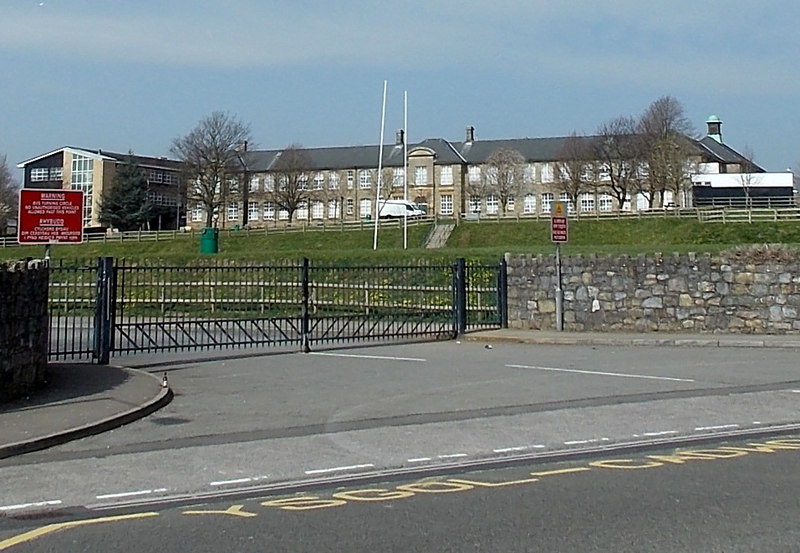
IMAGE CREDIT: Entrance gates to Brynteg Upper School, Bridgend
cc-by-sa/2.0 – © Jaggery – geograph.org.uk/p/4082457